Home » Grouse Species » Prairie Chicken Hunting » E-Scouting for Prairie Chickens
E-Scouting for Prairie Chickens

Kyle is an agronomist from Hiawatha, KS, a generalist hunter,…
Learn how to use online maps to identify prime habitat and terrain for hunting prairie chickens
The headlights hit a smooth blanket of snow stretching from one barbwire fence to the other. It was an untouched canvas leading directly to open prairie, awaiting only my boot prints. I shut the pickup off, grabbed my binoculars, gun, and hot coffee, and began walking to a GPS waypoint marked on my phone. Choosing a large hedge post along the fence line, I nestled into a clump of taller grass and tried to blend in. The sign above my head read “WIHA,” denoting public access and the opportunity for exploration that we may not otherwise have had. As I waited, Greater Prairie Chickens off in the east began to emerge from their snowdrifts. Bursting out from underneath the powdery snow, they gathered in a covey to fly towards breakfast.
Sipping my coffee, I relaxed as the sunrise began to paint the January sky. Suddenly, movement in the distance caught my eye. At first it looked like a flickering light. The sunlight filtered through beating wings of a group of birds making their way closer. It was a covey of more than thirty chickens. I soon learned that I had set up 200 yards from where they fly over heading to a bean field to feed, too far for a shot and without cover to move closer. I hurriedly snapped a blurry cell phone photo through the binoculars and smiled, knowing how close my scouting had led me.
E-scouting for upland game has become a lot easier with the advent of online mapping applications. OnX Hunt Maps has been my first choice. With landowner information, property boundaries, satellite and topographical maps, and much more, this app has become an asset in the field as well as between hunts. I have come to rely on it for scouting between adventures to new public access areas, especially when pursuing prairie chickens in my home state of Kansas.
Where to begin when e-scouting
In Kansas, the majority of prairie chicken range lands in the Smoky Hills and Flint Hills. This is largely due to uninterrupted acres of mixed and tallgrass prairie, lightly broken up in some areas by cropland. When scouting from mapping apps, I first start by looking for large tracts of grassland. Chickens tend to settle in grasslands, even with some cropland mixed in. Historically, they even benefited from farming until it became too much of a habitat loss. These birds can be found on properties of open grassland that are 320 acres or more in size, as long as there are nearby tracts of comparable size mixed in with crops.
If an area of grass is surrounded by cropland alone and there is no connectivity to neighboring pasture, then I look for tracts of land that are a minimum of 640 acres. You might only be able to access a smaller, 80 acre piece within the hundreds of acres, but the total amount of land is the key. The more acres of grassland adding up to miles and miles of open prairie, the better.
A key feature within OnX to help find these large areas is the “Roadless Areas” layer under the hunt tab in the app. This shows the most remote areas of the state in a purple hue. While not much of Kansas is roadless, it does narrow down a few areas very quickly. These are more easily seen on the web version compared to the phone application. You can also see these grasslands on a satellite image by finding a drab green or brown colored area, divided only by roads or creeks. If you see rows of crops or contoured terraces, you are usually looking at farmland and not grass. Another key feature of good habitat is few trees if any at all, along with no man-made structures. It is said that the reason prairie chickens don’t like trees is because they provide a perch for avian predators. Whatever the reason, they do seem to avoid anything larger than a plum thicket.
Scouting public vs private land
A large majority of the areas I hunt are Kansas Walk-in Hunting Areas (WIHA). WIHA properties are privately-owned land, leased for hunting by the state. These are surrounded by neighboring land that is also privately owned and usually not accessible. Once I find an area large enough on the map to possibly hold prairie chickens, I turn on the WIHA layer in OnX to locate potential access within the area.
Most public land tends to be grass, while public access can be pasture or cropland. Don’t rule out grain fields as these can provide great pass-shooting opportunities for prairie chickens in the late season. Alfalfa fields can also provide good early season success, due to the insects the hay will hold. I have had mixed success by contacting landowners of tracts of land that have stood out to me within the app. Most of the time, upland access is easy to obtain, as long as you avoid deer seasons. However, given the somewhat less plentiful population of chickens compared to other game, I have come across landowners who wish to keep them undisturbed. Nevertheless, do not overlook knocking on doors and talking with landowners. It may lead to some tips or great stories, if not a new honey hole.
Identifying prairie chicken terrain
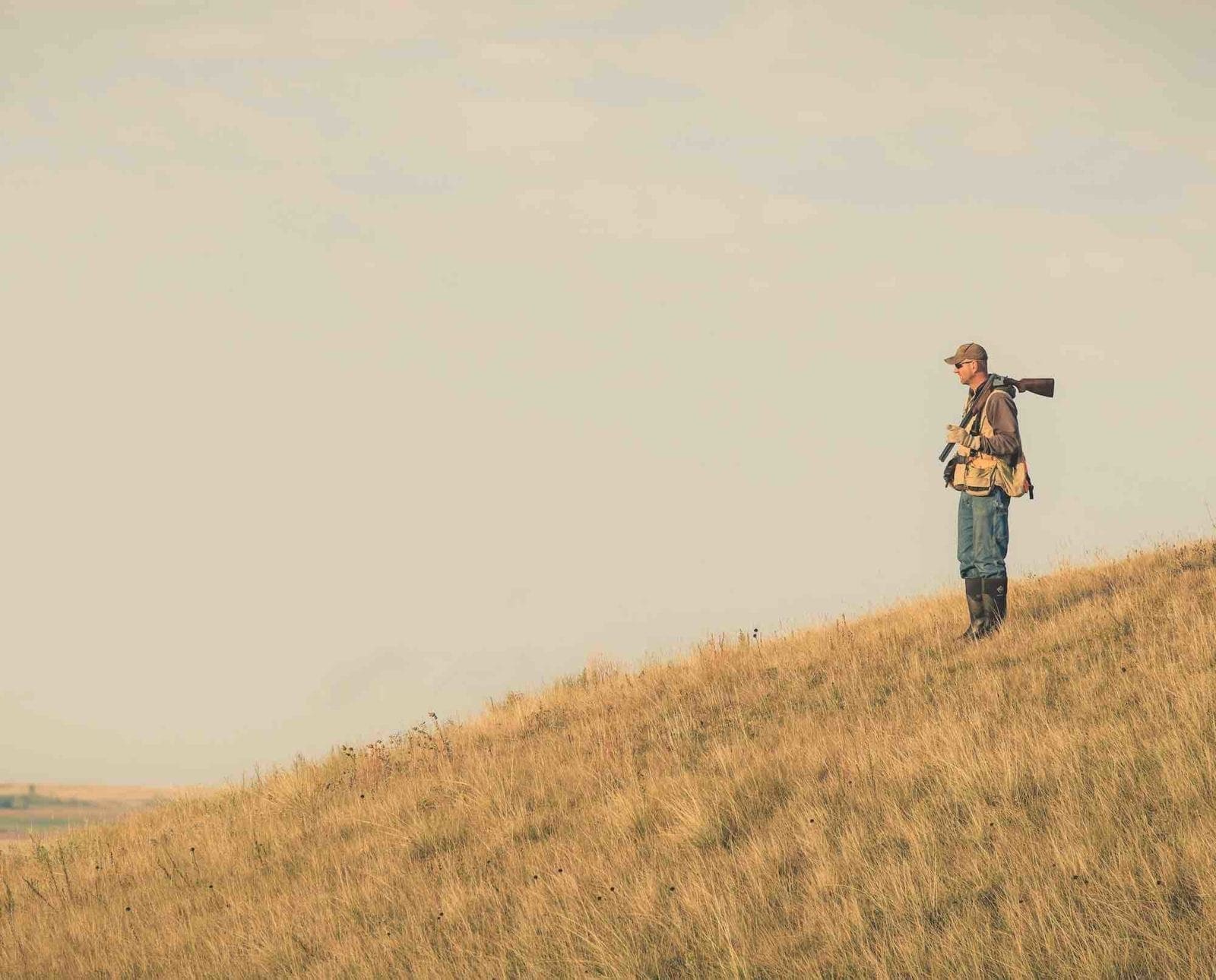
When narrowing down a hunting area or even a route to walk, the topographical or hybrid maps within the app are invaluable. In my experience, prairie chickens prefer to use a slope to their advantage. You can generally avoid flat or seemingly level prairie. They want a nice, south-facing slope to warm up in mornings and to roost on. A north-facing slope provides some shelter from radiant sun on hot fall days. Being able to move around a hill can provide them a break from a stiff wind. Most of all, high ridge tops provide security of allowing them to see danger from a distance.
Using the topographical maps, you can find areas with the right slope or ridge for the time of season you are hunting. Topographical contour lines stacked tightly mixed with some spread usually suggest rolling hills that fit this description.
Identifying prairie chicken habitat
Prairie chickens can be found in well-maintained, native grass pasture across a large portion of Kansas. Just because a particular area looks like grassland from an aerial photo, doesn’t necessarily mean it is the right type of grass. Chickens prefer grass that is shorter, a little thinner, and easy to navigate. Grass much taller than your knee will be too thick for anything other than a hen with a brood in the very early season. Even then, this will usually be a nesting area and not necessarily where you are going to be flushing them from later in the morning.
Pastures grazed by cattle are a hot spot as the cattle manure and forbs both hold insects and the grazing leaves the grass at a perfect height. Anywhere you can find rotationally burned or grazed grass is a good start. High ridge tops and steeper rolling slopes within these pastures tend to hold the right type of vegetation. Using the satellite imagery, you can often zoom in to see a slightly lighter grass color at the tops of the hills. This is often a great starting point for a September walk. Looking even closer, you might be able to make out pasture roads or cattle mineral sites. A small secret about these particular areas is that the grass will rarely ever get much height at all. Here is your best bet at finding a lek site.
One near-guaranteed location within a habitat is when you can find a solo grain field in an otherwise endless sea of grass. Every chicken in the area will know about this field and visit it after a frost when insects are no longer available. If you can be there to see chickens fly into a field to feed, drop a waypoint on your app. They’ll fly over the same location at almost the same time the following day. In fact, I usually drop waypoints every flush I make or every chicken seen, regardless of time of year. They can often be found in similar locations each year depending on grazing rotations.
Check your waypoints in person
The last step in e-scouting is actually getting out to ground truth your evidence. Once you have found an area with a large acreage of grass intermixed with a smaller acreage of crops and made up of sloping terrain with few roads or structures, it’s time to get on the ground and investigate.
Practice over time will help you determine what things actually look like in person versus what they look like online. Walking a field and looking for roosts, feathers, droppings, and of course actual birds is the final step. Hopefully you’re not like me and your first scouting trip isn’t the actual hunt! Either way, give online maps a try and save some time in finding new areas to chase chickens.
Kyle is an agronomist from Hiawatha, KS, a generalist hunter, but specifically; upland bird hunter, fur trapper, and fisherman. He enjoys doing anything that keeps him outdoors with his wife Shelby, son Cash, and lab Jack.


